Notes · 11 April 2026
Park connectors
The green paths that join the parks across the island, and how to use them to stretch a walk.
Look at a map of Singapore's parks and they seem to be scattered islands of green. Walk them, and you find that many are joined. Since the 1990s the parks have been linked by a network of paths known as park connectors, which now runs for more than 300 km across the island.
What they are
A park connector is usually a paved path wide enough for walkers and cyclists to share, with trees along it and a strip of grass on either side. Many follow the edges of canals and rivers, where there was already open land beside the water. Others run along the coast, through housing estates or beside main roads, and a few cross the roads on bridges of their own. Signs at junctions give the names of the parks ahead and the distance to them.
Some loops join up into long routes of 20 km or more around the edges of the island. You don't need to do anything like that. The useful thing for a walker is that the connectors turn a short park walk into a longer one, away from traffic, and give a shaded way to get from one walk to the next.
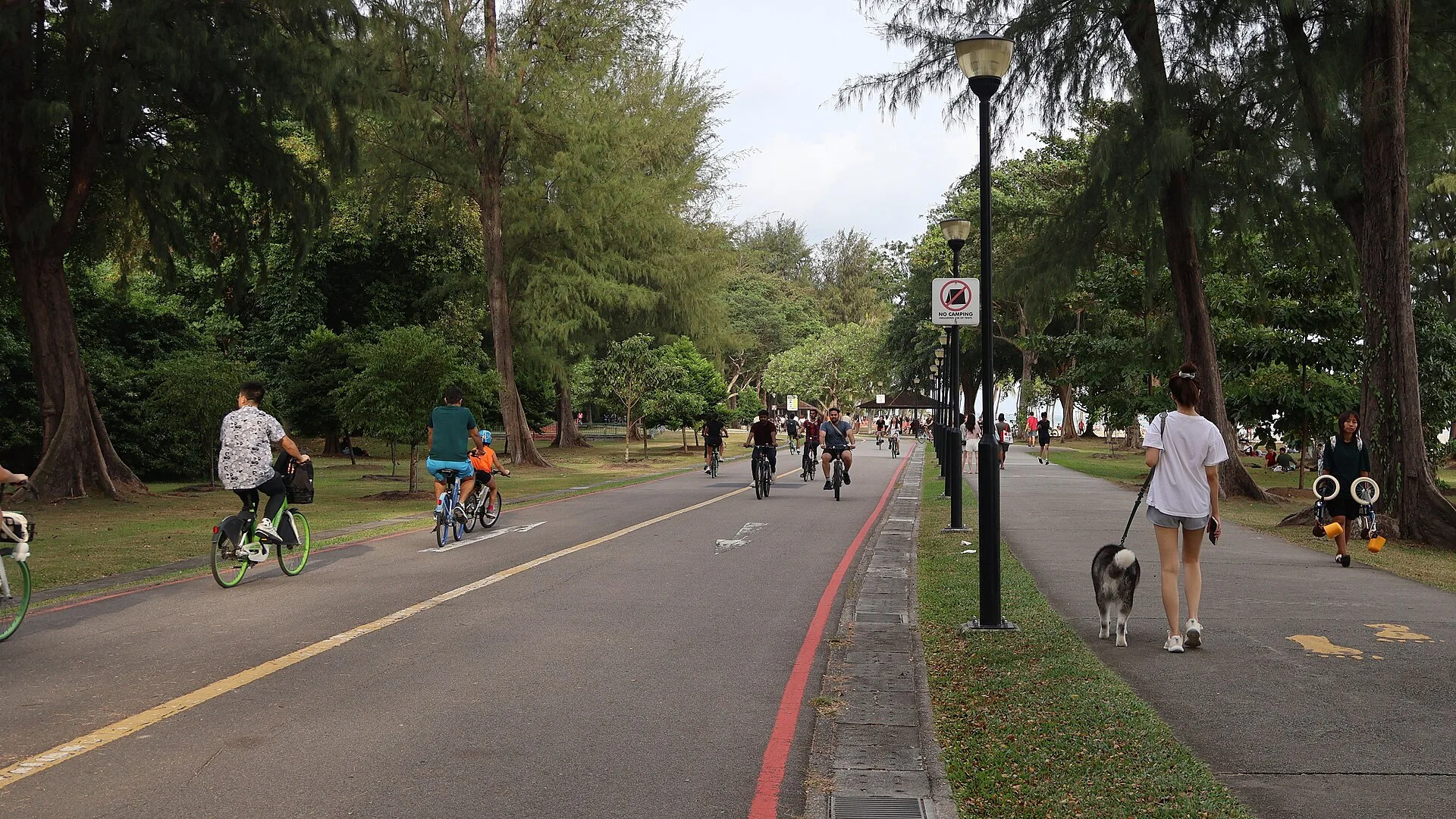
Separate paths for walkers and cyclists under the casuarinas · 2026 · Photo: S5A-0043, CC BY 4.0, via Wikimedia Commons

Along the coast
The East Coast walk follows one of the best known: the long path through East Coast Park, with the sea on one side and trees on the other. At weekends it is busy with families on bicycles, skaters and runners. On a weekday morning it is calm, and the view out to the ships at anchor goes on for kilometres.
Along the canals
Canal paths are less obvious but often more interesting. They run behind housing estates and old neighbourhoods, past playgrounds and community gardens, and show a side of the city that the main roads hide. The concrete channels look dull when dry, but after a storm they fill fast, and the water is worth watching from a safe distance. On the Old Streets walk, the path along the canal at the edge of Tiong Bahru is a quiet way in or out.
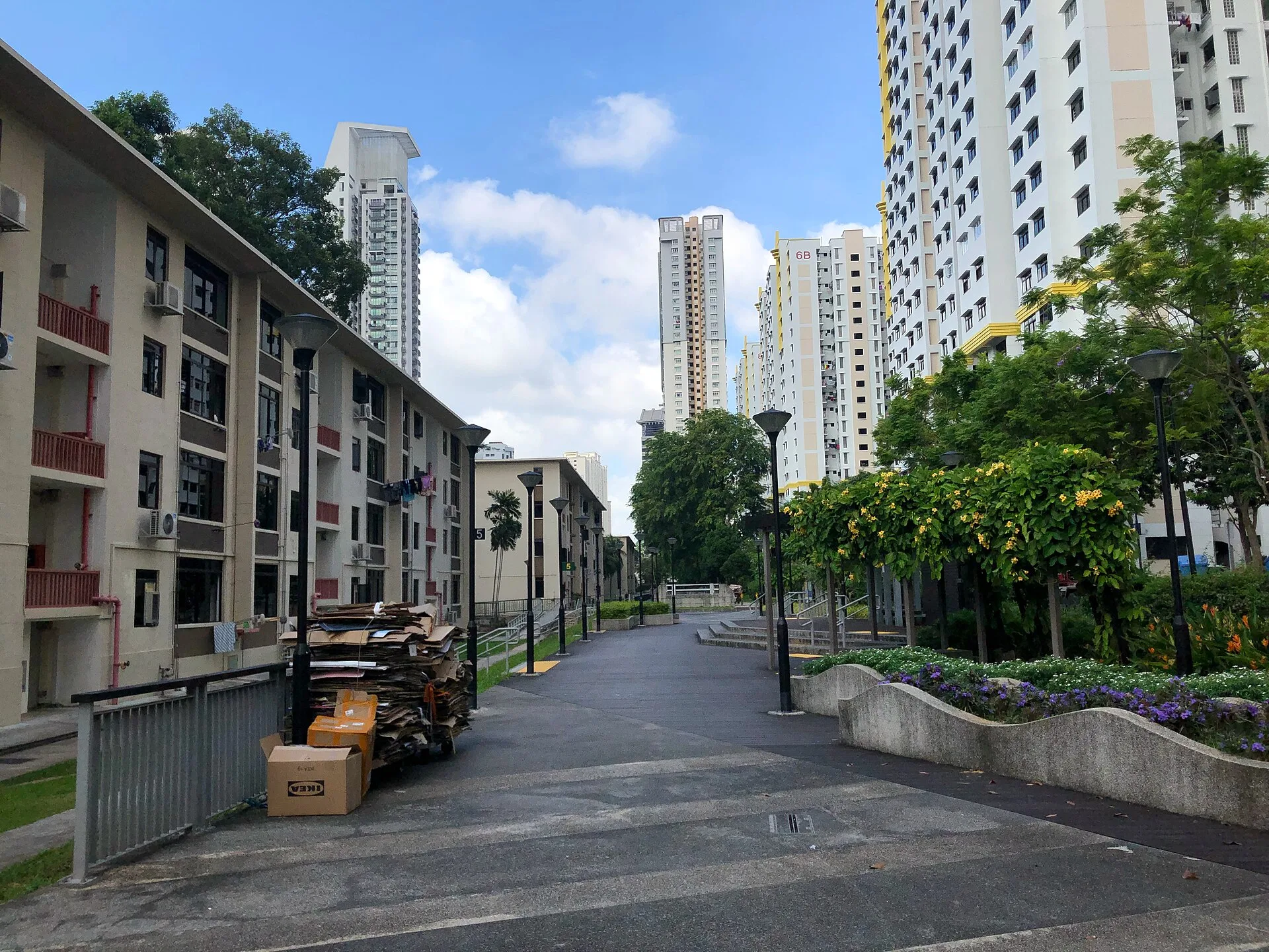
The canal path at the edge of Tiong Bahru · 2021 · Photo: Wzhkevin, CC BY-SA 4.0, via Wikimedia Commons

Sharing the path
Most connectors are shared with bicycles and scooters. Keep to one side, walk two abreast at most, and listen for a bell behind you. Cyclists are usually patient, but some go fast on the long straight stretches. Look both ways where the path crosses a road, even at a marked crossing.
Finding your way
The connectors have water taps, shelters and toilets at intervals, though not as often as in the parks themselves. Carry water on the longer stretches. The Southern Ridges walk is itself a chain of parks joined by bridges and walkways, and a good first taste of how the network works: each park leads to the next, and you can leave at almost any point and find a bus or a train nearby.